LONDON LOOP STAGE 15
Harold Wood to Coldharbour Point
|
|
|
|
|
So... the final, and with the walk back to Rainham station, the longest stage of the London Loop. I walked this section on the 21st September 2005.
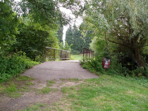
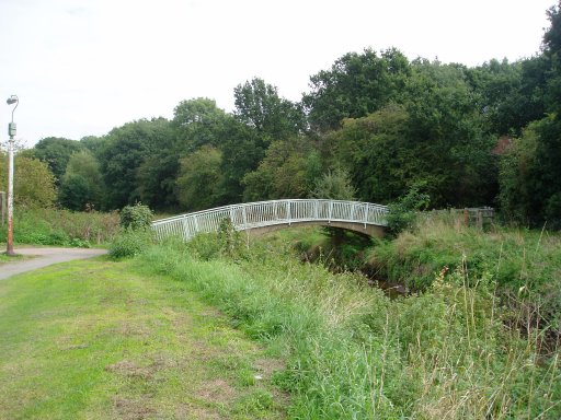
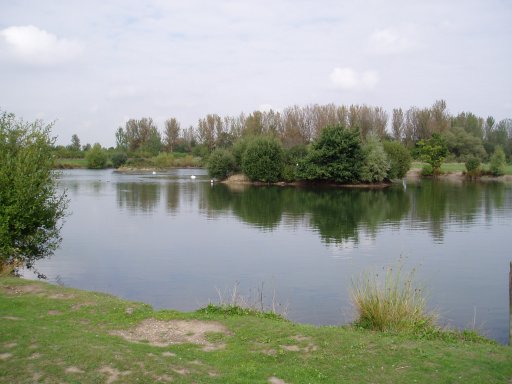
Harold Wood station is on the loop path itself and a short stretch of road walking leads to more parkland, much of which seems quite recently created, besides the River Ingrebourne, photos 1 and 2. This is followed for some distance before the path turns up and joins a busy stretch of road that takes the loop path over the A127 and on towards Upminster. Eventually the path leaves the road and heads back downhill towards the River Ingrebourne which once again is followed for a short while, passing through the green tunnel in the centre of photo 3 on the way. Here the loop path took a slightly different route to that shown in the London Loop guide although it was quite clearly marked on the ground so was not hard to follow, photo 4.
 |
 |
 |
 |
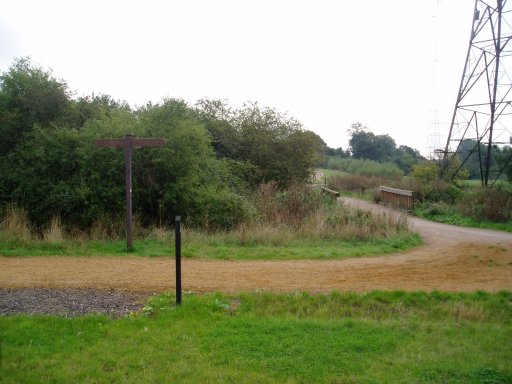
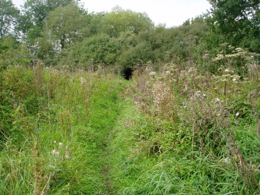
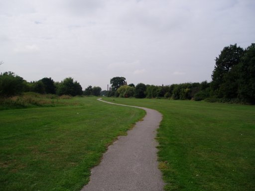
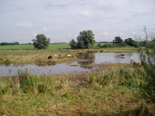
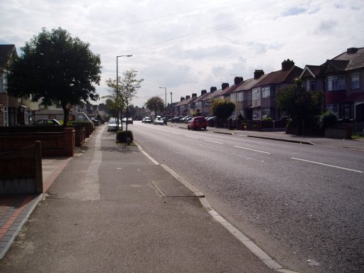
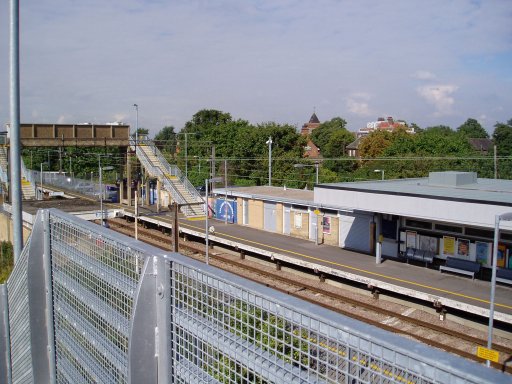
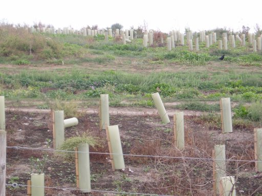
The path then enters a residential area, seen in the far distance in photo 4, passes Upminster Bridge tube station and goes on towards the ground of AFC Hornchurch, a football club that has fallen on hard times recently and now (2005-06) play in the Essex senior league. When I walked this section again in November 2007 two promotions have seen AFC Hornchurch now playing in the Ryman Premier League. Passing through the club car park the path enters more parkland at Caynes Parkway , photo 5. This continues for some distance finally leading into the Havering Country Park. The London Loop follows a mainly tarmac path through what I guess must be mainly reclaimed land and is a very pleasant stretch of walking with plenty of bird watching opportunities, photos 6 to 9. This area was also the site of the Hornchurch Aerodrome.
 |
 |
 |
 |
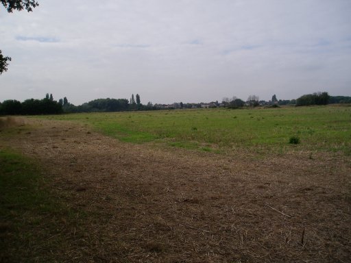
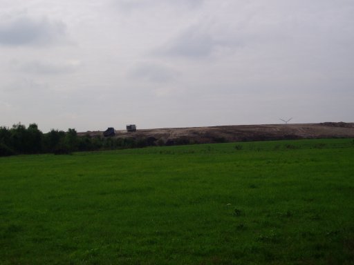
Towards Rainham, and indeed on the other side of the A13, there is still quite extensive reclamation works taking place that can be seen from the path, photo 10. This eventually forces the loop path to leave the parkland and there now follows a stretch of about 3 miles of road walking along some very busy and noisy industrial roads. Not very pleasant but very different form the sort of areas I usually go through on a walk. Sadly these last few miles of the path are some of the worst of the whole walk although things do improve slightly once the Thames is reached. The whole area is however undergoing much redevelopment and hopefully the path will one day follow a quieter and greener route through the reclaimed land and will be able to avoid the majority of the roads.
 |
 |
 |
 |
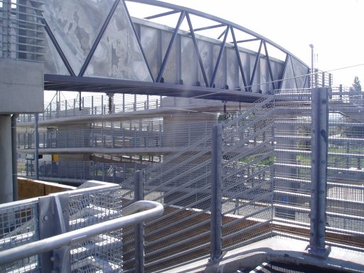
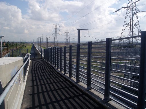
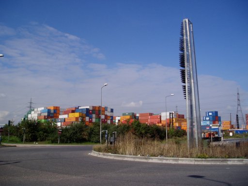
Anyway the path enters Rainham, goes past the station, photo 13, and takes a bridge over the new channel tunnel rail link, photos 12 and 14. The bridge is newly built and the metal still all shiny and clean. Doubtless it will soon all be covered in grime and graffiti but for now made an impressive sight in the sunlight with its multitude of ramps crossing the tracks. The path then heads towards the A13, passing a huge container store, photo 15, before passing under the A13 and into Ferry Lane with more heavy traffic and industrial units alongside Rainham Marshes, photo 16.
 |
 |
 |
 |
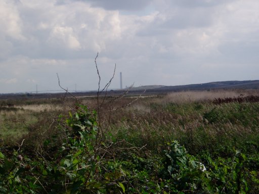
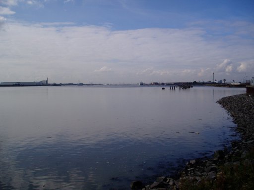
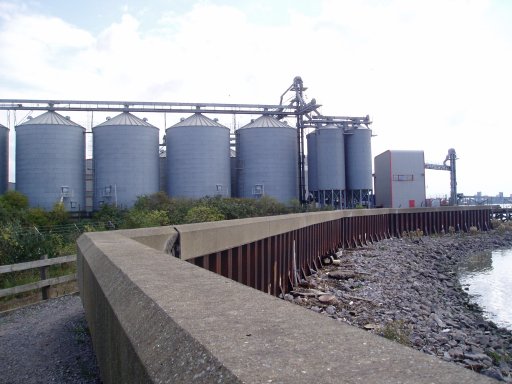
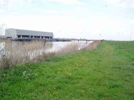
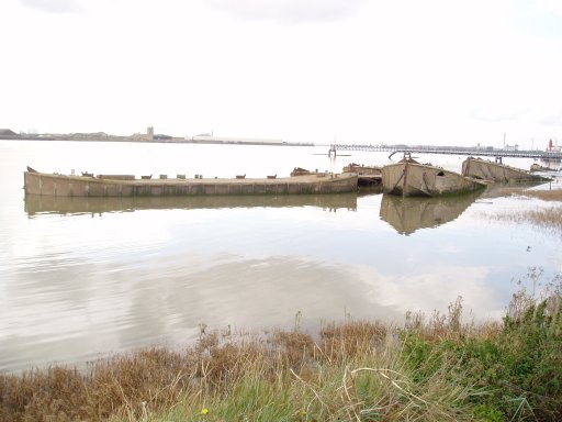
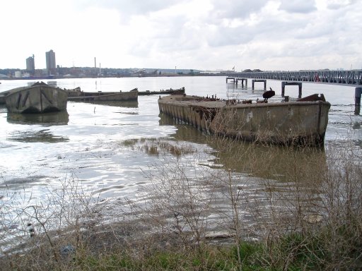
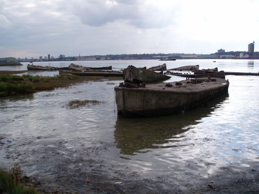
Eventually the Havering riverside path and the River Thames is reached, photo's 17 and 18. The loop path then follows the Thames downstream past the Tilda rice factory, photo 19, to finally reach Coldharbour point where the loop path rather unceremoniously ends at a pair of wire gates, photo 20.
 |
 |
 |
 |
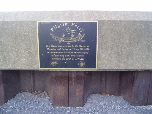
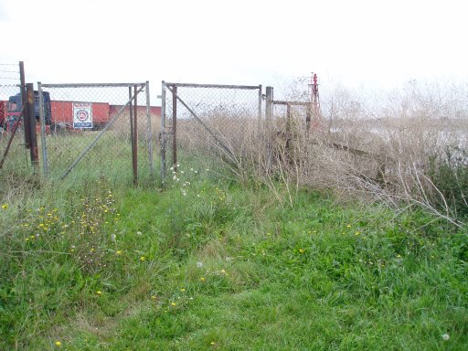
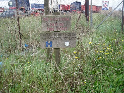
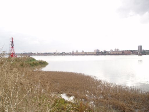
As the small sign says in photo 21, "no footpath beyond this point". It is a rather strange place to end the path in the middle of nowhere, all be it opposite the start of the walk on the other bank of the Thames over at Erith, photo 23. Just past the Tilda factory is an information board showing details of a proposed path extension to Avely yet the notice is rather old and nothing has happened yet. Lets hope the council and landowners can reach an agreement to allow the loop path to reach a more satisfactory ending. But for now, that is it, the London Loop path is completed - although then there is still a further 2.4 mile walk as you retrace the route back past the industrial units and traffic again to Rainham station.
Update: November 2007. The path now no longer ends at the wire gates but continues ahead alongside the Thames down to Purfleet. The grassy path seen in photo 22 has also been replaced by a tarmac track and the wooden sign saying "no footpath beyond this point" is no more. This provides a much more satisfactory conclusion to the walk than having to return to Rainham. Follow the link below for a description and photo's of the new stretch of path.
 |
 |
 |
 |
The GPS made this stage, 14.0 miles long including the return from Coldharbour Point to Rainham station.
![]() Back to:Walk index page
Back to:Walk index page