LONDON LOOP STAGE 8
Hatton Cross to Uxbridge
|
|
|
|
|
|
|
|
|
|
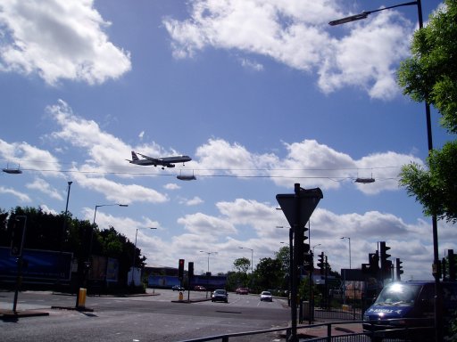
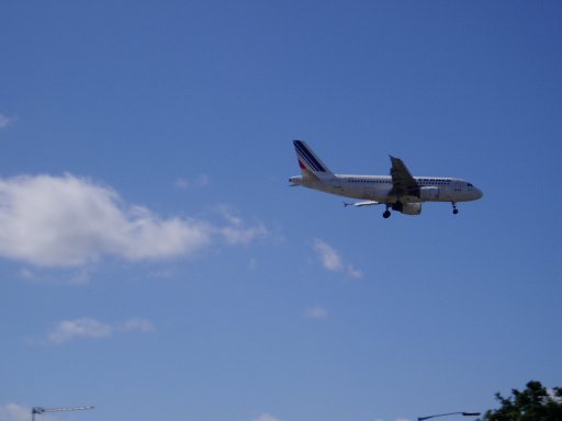
I walked this section on the 28th May 2005, my third London loop stage in May. The weather was much brighter than when I had been walking the week before and the different weather conditions also meant that as I arrived at Hatton Cross planes were flying directly overhead, ready to land at Heathrow airport. I took a couple of quick photo's, one and two, while waiting for the GPS to get a satellite lock and then headed down the A30 to join the loop path. The path to rejoin the River Crane was a bit unclear and there was a "no pedestrians" sign on a pole beside the road however this did not relate to walkers heading for the footpath.
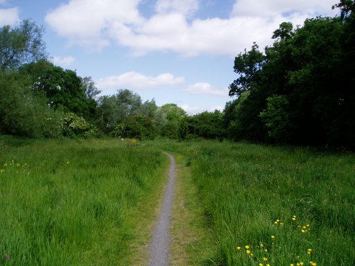
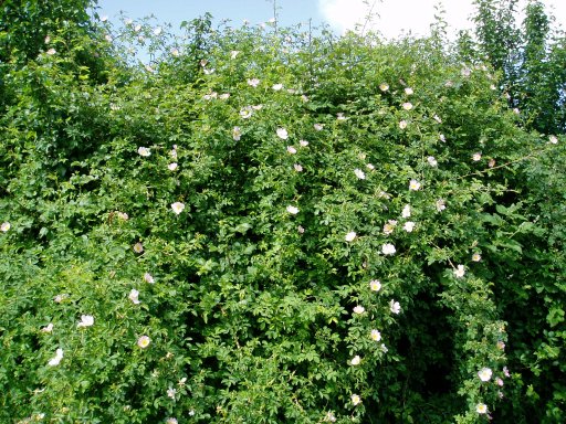
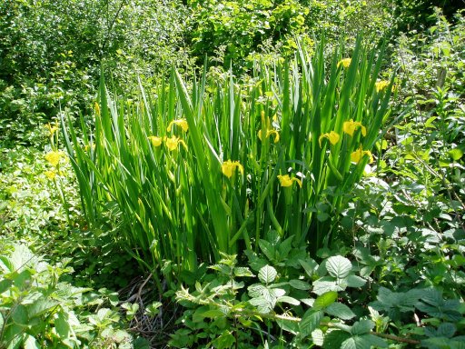
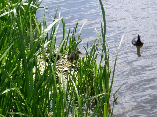
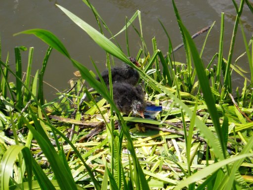
Very soon I was in the Crane Bank Water Meadows, a very pleasant and green space, right beside the airport, photo three. One feature of this area was the large number of dog roses growing sometimes climbing high up trees, photo four.
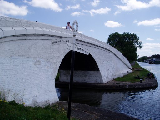
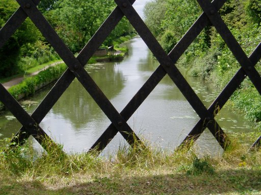
There then follows a short stretch of road walking before the loop path crosses the A4 and enters Cranford Park. The M4 is then crossed and a stretch of road walking along the A312 leads to a very complicated ramp down to the Grand Union Canal, close to Bulls Bridge where the Brentford arm of the canal joins up with the Paddington arm, photo eight.
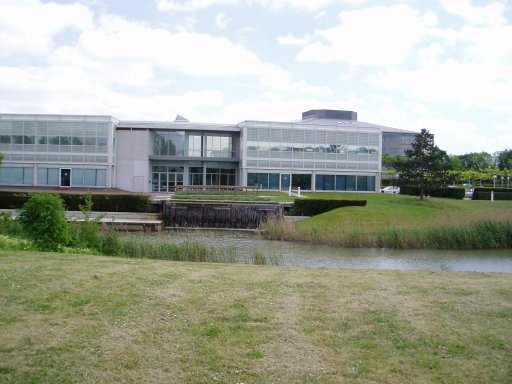
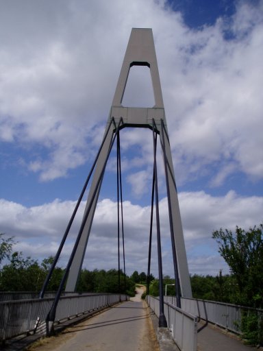
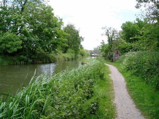
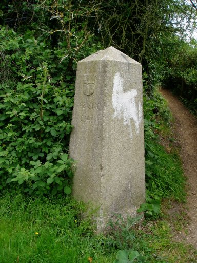
The walk then proceeds along the canal bank. Just before Hayes is reached the official London loop way markers re-appear. I was feeling really hungry at this point and did not fancy the sandwiches I had with me so made a quick detour into Hayes to get something more substantial to eat. The loop leaves the canal for a while and passes through Stockley Park, a combination of business park (photo 9), open spaces and a golf course, although fortunately none of the fairways are crossed by the loop. The A408 is crossed via a bridge, photo 10, before the loop path makes it way back down the Grand Union canal at Horton Bridge. A little further on the path joins the Slough arm of the Grand Union Canal, photo 11, before turning off by an old coal tax post, photo 12, erected under the London Coal and Wine Duties Continuance Act, 1861. After crossing the canal, photo 13, to head towards the river Colne which is followed for a while before a short stretch of road walking leads to Grand Union Canal not far from Uxbridge where this stage of the loop ends. Part of the path besides the river Colne was being used as a dirt bike track when I went past however both lads pulled over cut their engines as I walked past.
Again this stage was another very pleasant walk, largely avoiding any long stretches of road walking, very different from the stages that have gone before. The hilly South London stages seems a long way away now. It was however quite noisy first from the planes and then the M4. Even along the latter stretches of the Grand Union canal a steady roar of traffic could be heard in the distance coming from the M25. The GPS made this stage, including the links to the stations, 10.4 miles long.
 |
 |
 |
 |
 |
![]() Back to:Walking index page
Back to:Walking index page